
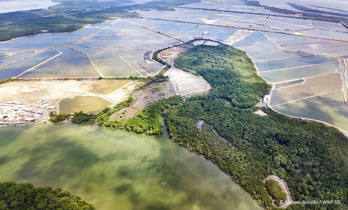
Seafood buyers are increasingly looking for ways to understand and reduce the environmental risks in their supply chains, notably in shrimp aquaculture. A new Coastal Habitat Mapping Tool by Clark Labs provides insights regarding habitat conversion which might answer that. Combining high quality satellite imagery and expert geospatial analysis, Clark Labs’ aquaculture mapping tool offers a look at historical landscape changes for critical wetlands habitats, including mangroves, and aquaculture pond cover in major shrimp exporting countries around the world.